Westernlegend1
Moved On
- Joined
- Mar 14, 2006
- Messages
- 5,019
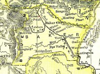
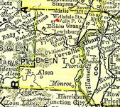
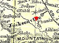
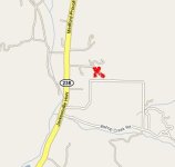
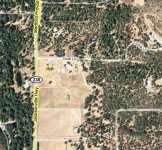
Baker County
The Old-Timers Claim
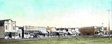
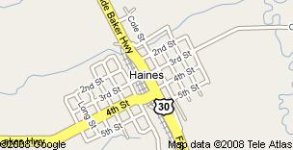
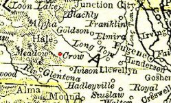
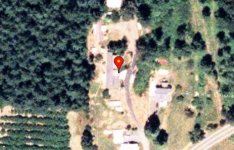
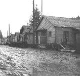
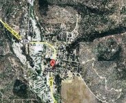
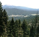
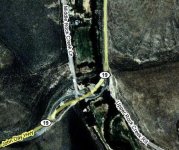
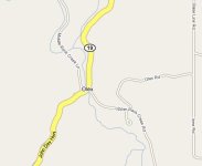
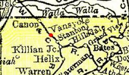
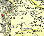
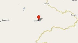
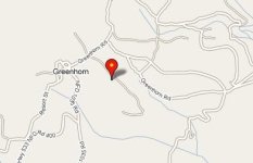
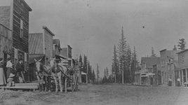
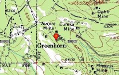
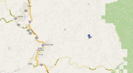
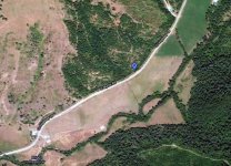
The town of Haines in Baker County is according to the real old-timers sitting on land which is rich in gold! There is a story that has been around for a few years that when work was going on hooking up new water and sewer lines, a worker found a large gold nugget. Imagine walking along that section of fresh dirt after a heavy rain? Photos Included:
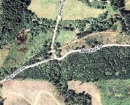
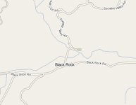
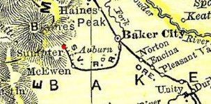
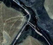
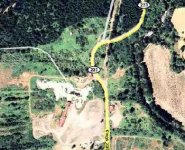
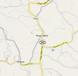
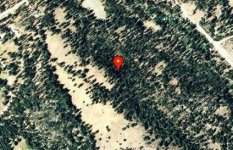
A map of Baker County with a mark showing where Haines is located at. A google map shows some detail, and a photo of some of the old building fronts from long ago. Some older coins should be at a site such as this.