Westernlegend1
Moved On
- Joined
- Mar 14, 2006
- Messages
- 5,019
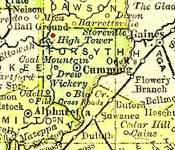
Forsyth County
Just Another Day
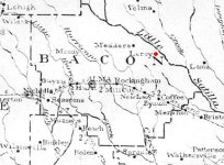
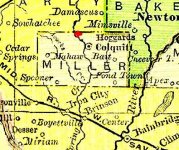
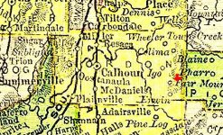
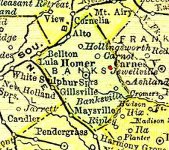
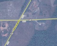
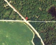
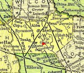
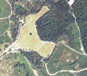
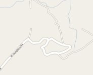
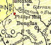
James Vann was a chief of the Cherokees and he loved to kill the whitemen for their intrusion upon the Cherokee lands. He was wealthy and an owner of slaves, he owned several prime pieces of property. One was a plantation at Spring Place, a tavern and farm at Hightower, some gold mines at Dahlonega and even a ferry on the Chattahoochee River. He was ruthless and cruel in the treatment of even his fellow Indians. Seeing as how he owned several good money making properties, it was nothing out of the ordinary for him to transport large amounts of gold dust, nuggets and even money as he traveled between his land holdings. A couple of weeks before he was shot to death, he had almost $40,000 said to be in gold dust which was contained in a chest. This he took to his farm at Hightower and ordered a couple of Negroes to carry down to the river bottoms and bury under a large tree, once done he shot and killed them both, then he went home. This was all in a day’s business for James Vann, shortly after this he was shot and killed and the chest of gold was never found. It is believed that he had several caches hidden elsewhere on his land holdings which were also not recovered after his death. Photos Included:
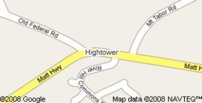
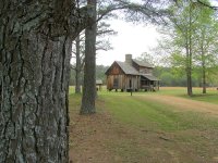
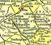
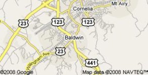
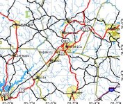
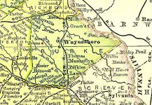
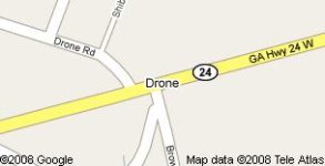
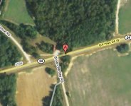
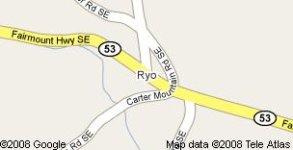
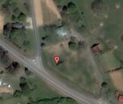
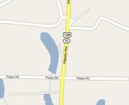
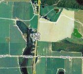
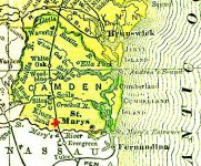
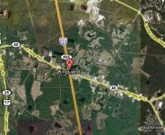
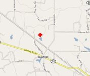
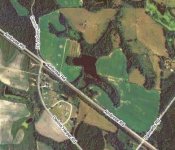
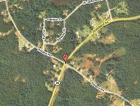
A map of Forsyth County with Hightower marked with a red dot, a google map shows some detail for the area of Hightower. This building is said to have been the tavern once located at Vann’s Ferry on the Chattahoochee River, but it has since been moved to New Echota, the National Cherokee Capital.